Shenandoah National Park Maps & Documents
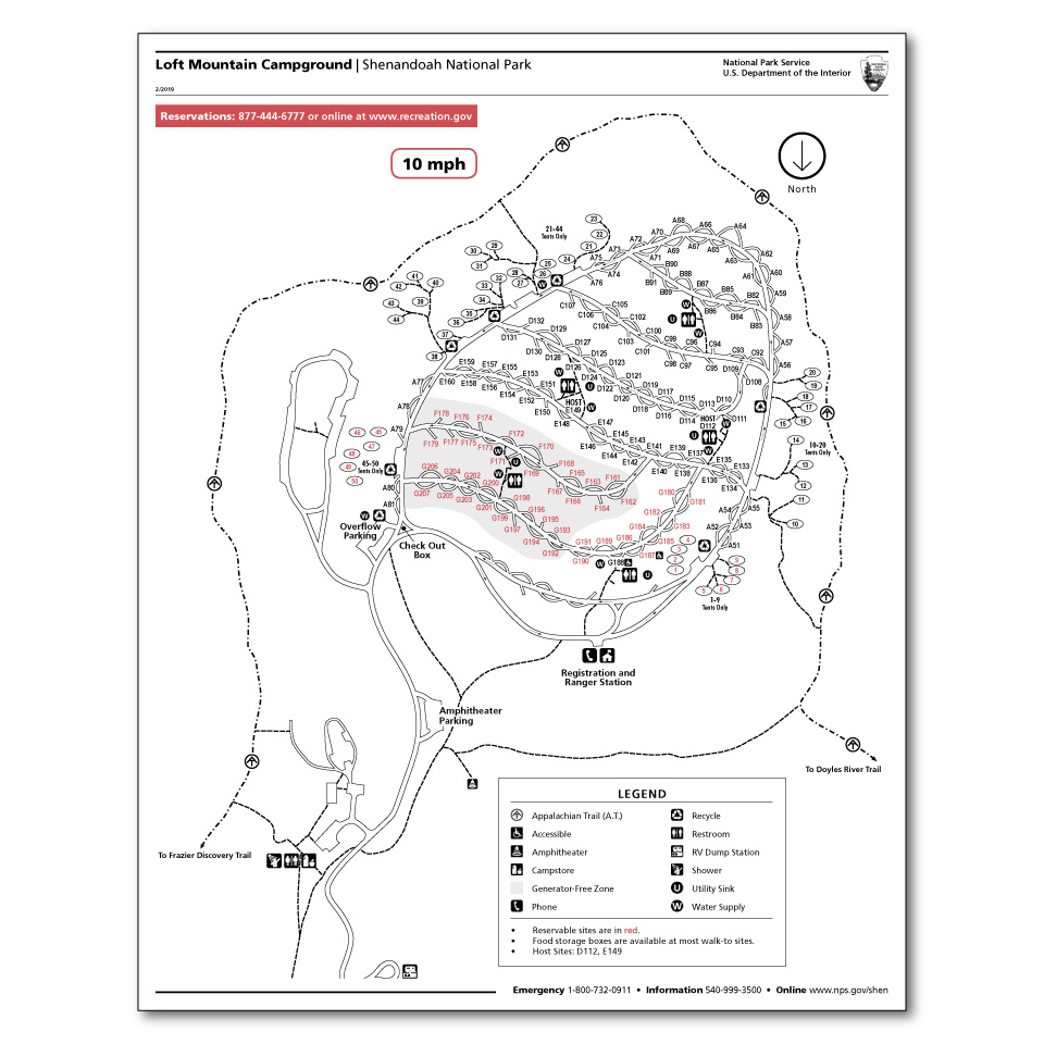
A Graphic Of A Campground Map For Loft Mountain Campground.
A graphic of a campground map for Loft Mountain Campground.
Map file from NPS.gov/shen/ website
182.82 KB
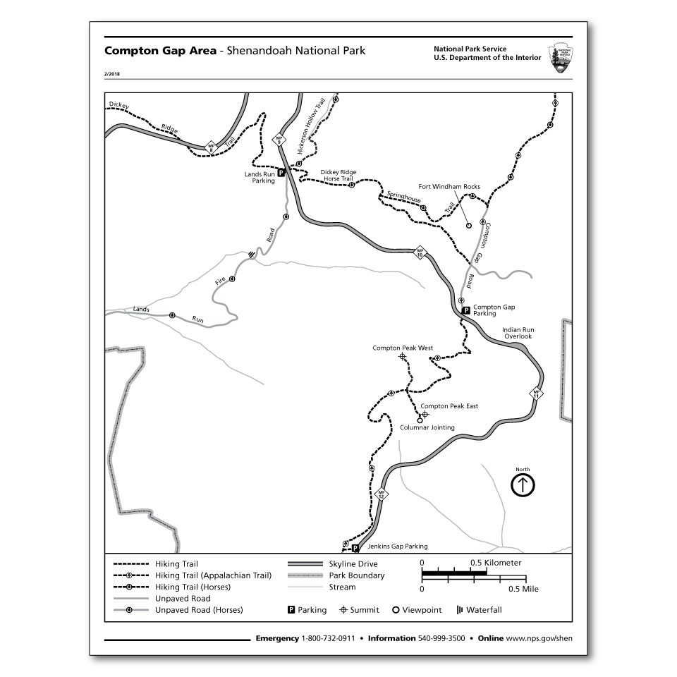
A Graphic Of A Trail Map For Compton Gap.
A graphic of a trail map for Compton Gap.
Map file from NPS.gov/shen/ website
123.05 KB
An Image Of The Shenandoah National Park Brochure
An image of the Shenandoah National Park brochure
Map file from NPS.gov/shen/ website
274.33 KB
Big Meadows Detail Map
From park brochure
JPG Viewable Map File
264.55 KB
2020 screen-viewable file
440.08 KB
2020 print production file with shaded relief
1.18 MB
*downloads in a Zip file.
February 2002 shaded relief file
99.46 KB
*downloads in a Zip file.
Lewis Mountain Detail Map
From park brochure
JPG Viewable Map File
130.86 KB
April 2013 screen-viewable file
526.08 KB
April 2013 print production file
900.44 KB
*downloads in a Zip file.
February 2002 shaded relief file
81.06 KB
*downloads in a Zip file.
Loft Mountain Detail Map
From park brochure
JPG Viewable Map File
188.53 KB
April 2013 screen-viewable file
547.48 KB
April 2013 print production file
914.98 KB
*downloads in a Zip file.
February 2002 shaded relief file
86.68 KB
*downloads in a Zip file.
Matthews Arm/Elkwallow Detail Map
From park brochure
JPG Viewable Map File
286.86 KB
April 2013 screen-viewable file
615.57 KB
April 2013 print production file
960.00 KB
*downloads in a Zip file.
February 2002 shaded relief file
90.29 KB
*downloads in a Zip file.
Park Map
From park brochure
JPG Viewable Map File
3.29 MB
2020 screen-viewable file
9.74 MB
2020 print production file with shaded relief
18.47 MB
*downloads in a Zip file.
Skyland Detail Map
From park brochure
JPG Viewable Map File
281.67 KB
2020 print production file with shaded relief
407.73 KB
2020 print production file with shaded relief
1.22 MB
*downloads in a Zip file.


