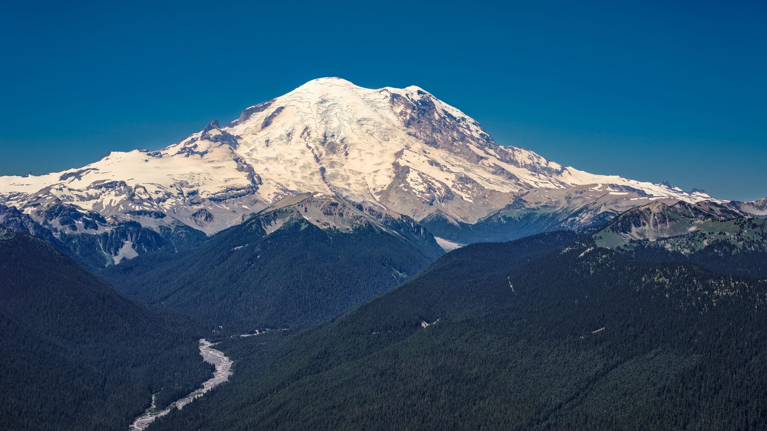
About Mount Rainier National Park
Mount Rainier National Park is located in west-central Washington, on the western slope of the Cascade Range and encompasses 236,381 acres within the authorized, legislated park boundary. An additional 140 acres lie outside the current boundary near the Carbon River entrance. The park’s northern boundary is approximately 65 miles southeast of the SeattleTacoma metropolitan area and 65 miles west of Yakima. The elevations of the park extend from about 1,700 feet above sea level to 14,410 feet at the summit of Mount Rainier.
The focal point of the park is a towering, snow- and ice-covered volcano, which is a prominent landmark in the Pacific Northwest. The base of the volcano spreads over an area of about 100 square miles. The 26 major glaciers on the mountain cover 35 square miles, constituting the largest single-mountain glacial system in the contiguous 48 states. Mount Rainier is also the second most seismically active and the most hazardous volcano in the Cascade Range.
The park’s rugged, precipitous topography consists mainly of peaks and valleys. The flanks of the mountain are drained by five major rivers and their tributaries. The mountain’s summit towers 9,000 to 11,000 feet above valley floors only three to six miles away. Besides the glaciers, other water resources in the park include 470 mapped rivers and streams, 382 mapped lakes and ponds, more than 3,000 acres of wetland, numerous waterfalls, and mineral springs.
The park’s vegetation is diverse, reflecting the varied climatic and environmental conditions encountered across the park’s 12,800-foot elevation gradient. More than 960 vascular plant species and more than 260 nonvascular plant species have been identified in the park. Mount Rainier also provides habitat for many wildlife species, including approximately 300 species of native birds, mammals, reptiles, amphibians, and fish.
In addition to its natural wonders, the national park has a long history of human activities. The area was used by American Indians for hunting and gathering, as well as for spiritual and ceremonial purposes. In the early 1900s miners, climbers, and tourists, among others, came into the area. The establishment of the park, and subsequent planning and development for visitor use and landscape protection, constitutes an important chapter in the development of the American park idea. As a result, Mount Rainier National Park has rich and diverse cultural resources, including prehistoric and historic archeological resources, historic structures, and cultural landscapes.
Congress recognized the special nature of Mount Rainier when it established the area as a national park on March 2, 1899. It was the nation’s fifth national park. In 1963, the approximately 210-acre outlying Tahoma Woods area was set aside for park and visitor support facilities. In 2004, Congress authorized an 800-acre expansion in the Carbon River area for conservation and recreation purposes. Congress also recognized the wilderness values of the park and, in 1988, designated about 97% of the park as the Mount Rainier Wilderness.
Most developed areas in the park are of national significance and are included in the comprehensive Mount Rainier National Historic Landmark District, which was designated in 1997. The Mount Rainier National Historic Landmark District sets Mount Rainier National Park apart as the best and most complete example of the conception and idea of the American national park as it was embodied and implemented through the master planning of the early 20th century.
Volunteers and partnerships with public, private, and nonprofit groups for education, scientific research, and stewardship of park resources are integral to achieving the purpose of Mount Rainier National Park. The park maintains a wide variety of partnerships in support of its purpose and mission and cultivates new partnerships when appropriate and feasible.
As a large protected area that has served as a local, national, and international destination for more than 100 years, Mount Rainier National Park is integral to the economic and environmental health of the surrounding communities and the region.
Source: Foundation Document – Mount Rainier National Park
Fast Facts:
| Date the Park was Established: | March 2, 1899 |
| Park Area (as of 2019): | 236,381.64 acres (956.6 km2) |
| Recreational Visitors (2018 Total): | 1,518,491 visitors |


