Mesa Verde National Park Maps & Documents
These maps are for general use only. Please read nps.gov's Data Sources and Accuracy statement for more information.

3D Panorama Map - Northeast View
From park wayside exhibit

3D Panorama Map - Northwest View
From park wayside exhibit

3D Panorama Map - South View
From park wayside exhibit

3D Panorama Map - West View
From park wayside exhibit
Mesa Verde National Park Map
Mesa Verde National Park Map

Park Map
From park brochure
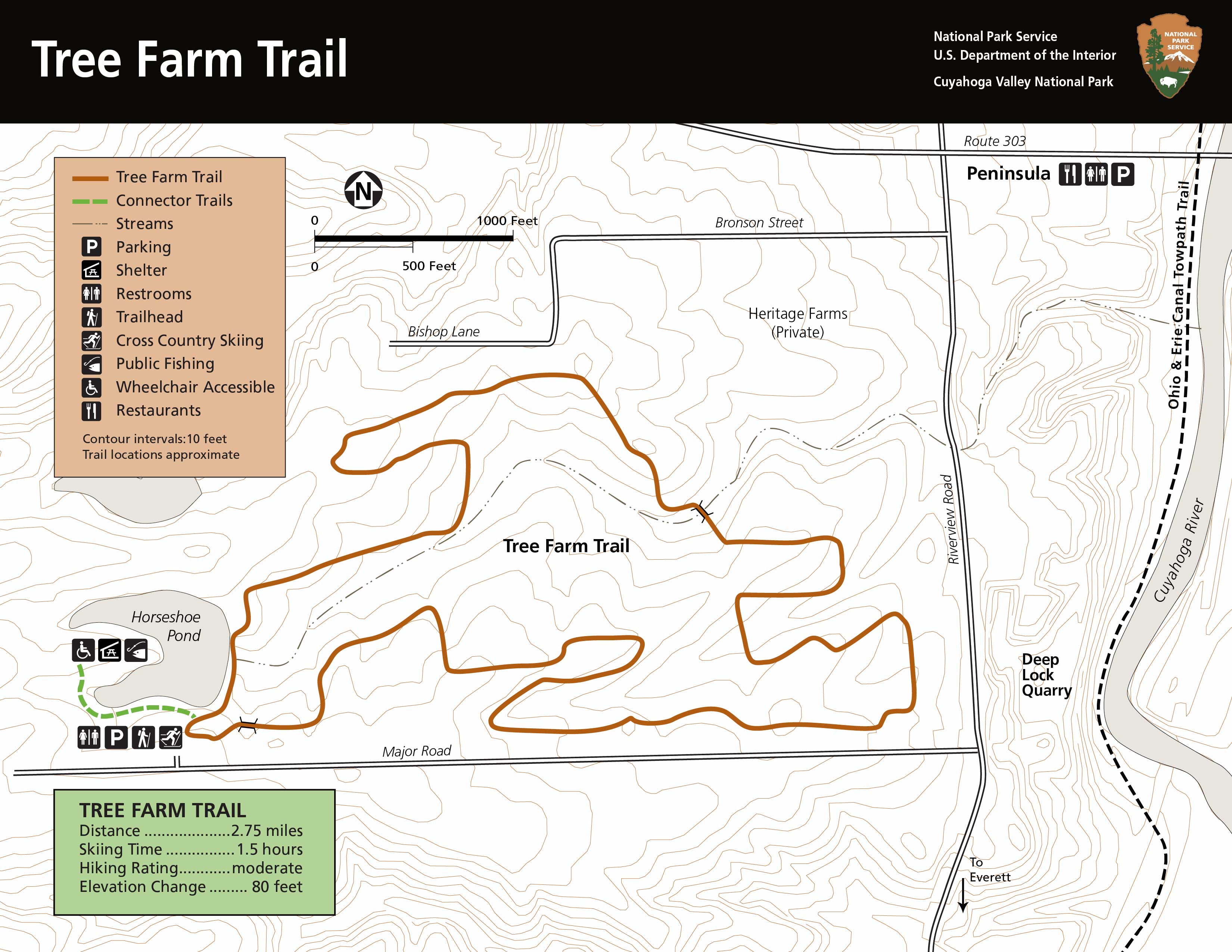
Park Map Displays 20 Mile Main Park Road Into Chapin Mesa And Wetherill Mesa. Points Of Interest Such As The Visitor Center And Lodging And Campground Are Marked On The Map As Are The Driving Loops And Historic District.
Park map displays 20 mile main park road into Chapin Mesa and Wetherill Mesa. Points of interest such as the Visitor Center and Lodging and campground are marked on the map as are the driving loops and historic district.
Separation Bar With Triangles - Black And White
Separation bar with triangles - black and white
The Official Brochure Map Of Mesa Verde National Park
The official brochure map of Mesa Verde National Park

