fbpx
Loading...Loading Park Alerts...

Park Alerts (0)

***Discover Our Parks, LLC takes no responsability in the accuracy of these alerts, which are taken directly from NPS.gov, and we provide them for informational purposes only. Please refer to NPS.gov for more information.

Great Basin National Park Maps & Documents

These maps are for general use only. Please read nps.gov's Data Sources and Accuracy statement for more information.

Locator Map - From park brochure
Locator Map
From park brochure
JPG Viewable Map File
11.13 KB
2021 screen-viewable file
177.66 KB
2021 print production file
962.49 KB
*downloads in a Zip file.

Park Map - From park brochure
Park Map
From park brochure
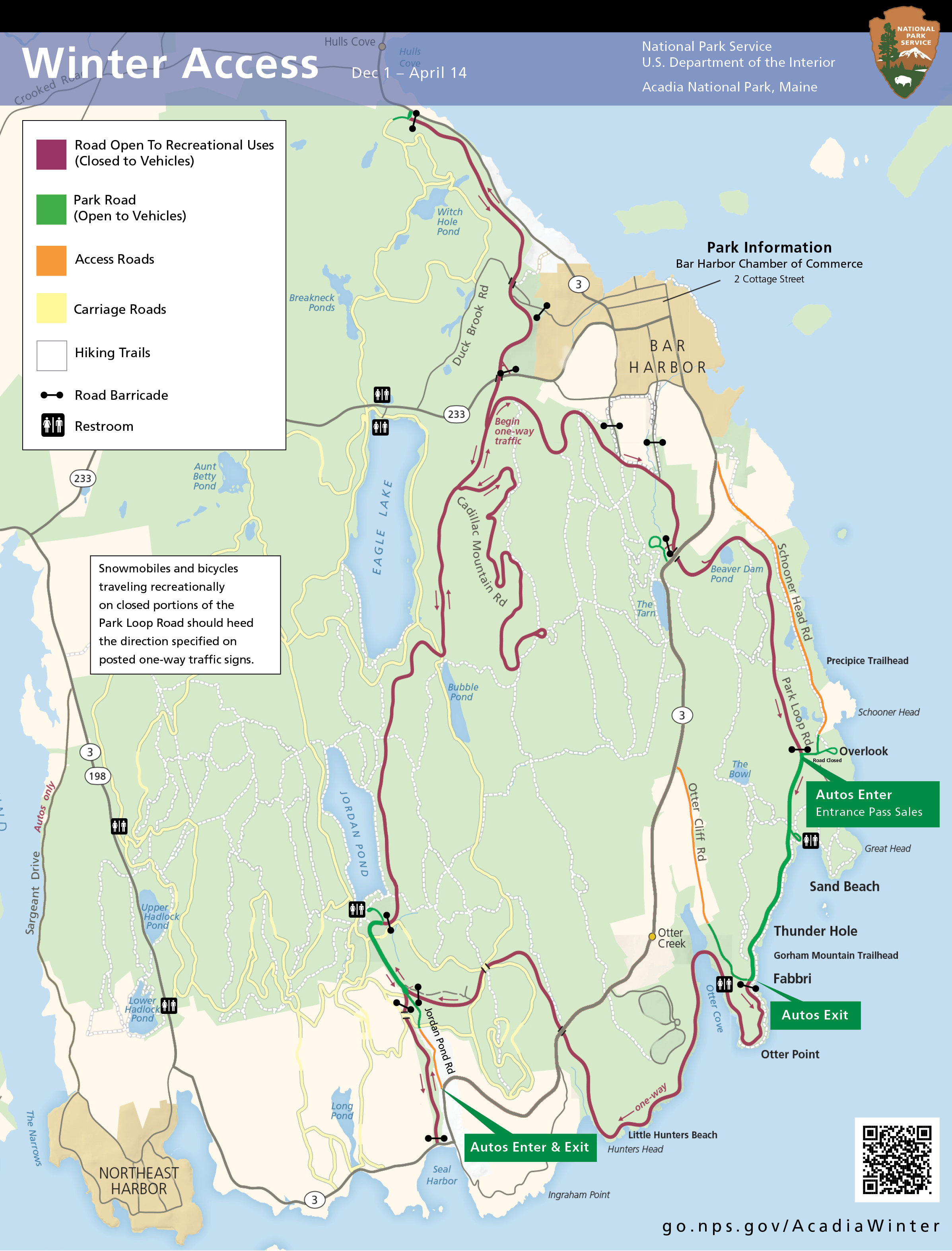
JPG Viewable Map File
3.36 MB
2021 screen-viewable file
9.68 MB
2021 print production files with shaded relief
81.81 MB
*downloads in a Zip file.

Simplified Map Showing Locations Of Visitor Centers, Roads, And Campgrounds - Simplified map showing locations of visitor centers, roads, and campgrounds
Simplified Map Showing Locations Of Visitor Centers, Roads, And Campgrounds
Simplified map showing locations of visitor centers, roads, and campgrounds
Map file from NPS.gov/acad/ website
2.20 MB

Topographic Map Sections (top To Bottom, Left To Right): Windy Peak, Lehman Caves, Wheeler Peak, Kious Springs, Minerva Canyon, And Arch Canyon - Topographic map sections (top to bottom, left to right): Windy Peak, Lehman Caves, Wheeler Peak, Kious Springs, Minerva Canyon, and Arch Canyon
Topographic Map Sections (top To Bottom, Left To Right): Windy Peak, Lehman Caves, Wheeler Peak, Kious Springs, Minerva Canyon, And Arch Canyon
Topographic map sections (top to bottom, left to right): Windy Peak, Lehman Caves, Wheeler Peak, Kious Springs, Minerva Canyon, and Arch Canyon
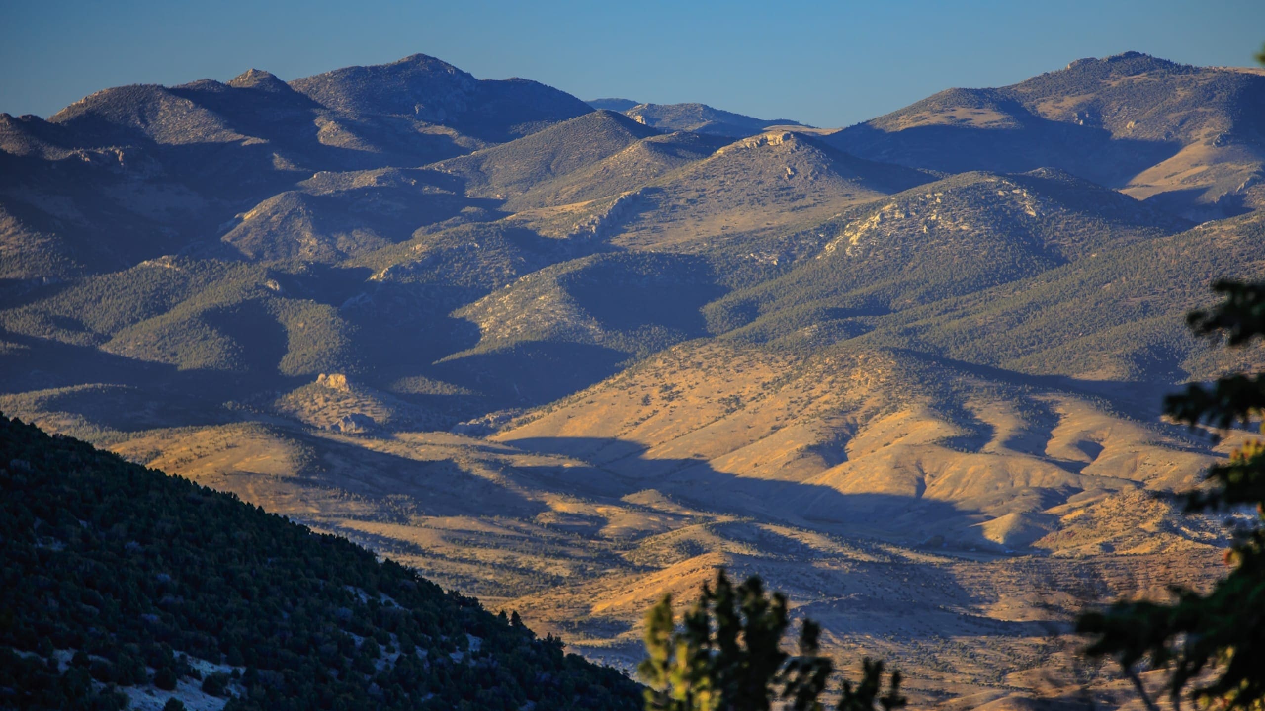
Map file from NPS.gov/grba/ website
11.52 KB