
Glacier Bay National Park & Preserve Maps & Documents
These maps are for general use only. Please read nps.gov's Data Sources and Accuracy statement for more information.

3D Physical Map
Unpublished Brochure Map

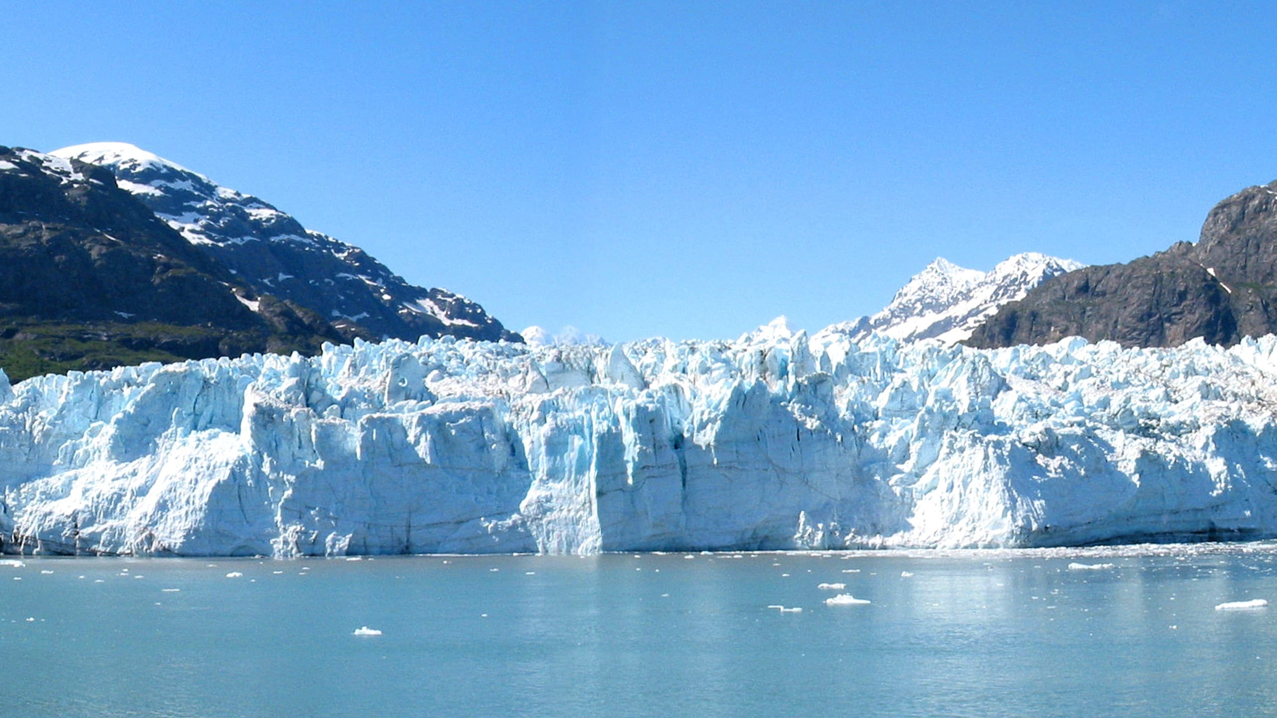
A Glacier Leads High Into Steep Rocky Snow-topped Mountains. Graphic Layout For Glacier Bay At Top
A glacier leads high into steep rocky snow-topped mountains. Graphic layout for Glacier bay at top

A Thumbnail Image Of A Map Of The Glacier Bay Bartlett Cove Campground With Individual Campgrounds, Food Caches, A Warming Shelter, Fire Pit, And More Marked. Contact The Visitor Information Station For Precise Details Or Download The PDF. 907-697-2627
A thumbnail image of a map of the Glacier Bay Bartlett Cove campground with individual campgrounds, food caches, a warming shelter, fire pit, and more marked. Contact the visitor information station for precise details or download the PDF. 907-697-2627

Aleutian Low Map
From Wayside Exhibit


Diagram Of Bartlett Cove Dock
Diagram of Bartlett Cove Dock

Downsized Image Of The Bartlett Cove Public Use Dock Map. For Reference Only, This Image Is Too Small To Be Readable.
downsized image of the Bartlett Cove public use dock map. For reference only, this image is too small to be readable.


Glacial Outwash Map
From Wayside Exhibit

Glacier Bay Enlargement
From Park Brochure

Glacier Retreat Map
From Park Brochure
March 2006 full-resolution color shaded relief files
21.05 MB
*downloads in a Zip file.

GLBA Commercial Fishing Map Thumbnail
GLBA Commercial Fishing Map thumbnail


Guide To Park Waters Map Thumbnail
Guide to park waters map thumbnail

Inside Passage Map
From Park Brochure
March 2006 Adobe Illustrator print production file
952.58 KB
*downloads in a Zip file.

Layout Of Glacier Bay Lodge
Layout of Glacier Bay Lodge

Map Of Bartlett Cove Campground
Map of Bartlett Cove Campground


Map Showing Camper Dropoffs
Map showing camper dropoffs

Nautical Chart Of Glacier Bay Thumbnail Image. The Thumbnail Image Is Too Small To Make Out Any Details Except Showing That This Is A Nautical Chart.
Nautical chart of glacier bay thumbnail image. The thumbnail image is too small to make out any details except showing that this is a nautical chart.

Park Map
From Park Brochure

Small Thumbnail Image Showing The Front Cover Of The Fairweather Visitors Guide. It Has Pretty Photos Of Glacier Bay And The Year Noted On It.
Small Thumbnail image showing the front cover of the Fairweather Visitors Guide. It has pretty photos of Glacier Bay and the year noted on it.

Thumbnail Image Of The Glacier Bay Lodge Map. This Image Is A Thumbnail And Only A Preview Of The Full Image, Which Is Only Available Via The Glacier Bay Lodge, The Park's Concessionaire Partner.
Thumbnail image of the Glacier Bay Lodge map. This image is a thumbnail and only a preview of the full image, which is only available via the Glacier Bay Lodge, the park's concessionaire partner.

Thumbnail Image Shows The Bartlett Cove Campground And Is For Campers To Orient Themselves To The Main Visitor Use Areas Surrounding The Visitor Information Station And Public Dock. Open This Pdf For A Readable File Or Contact The Park 907-697-2230
Thumbnail image shows the Bartlett Cove Campground and is for campers to orient themselves to the main visitor use areas surrounding the Visitor Information Station and public dock. Open this pdf for a readable file or contact the park 907-697-2230

Thumbnail/preview Image Of A Satellite Image Of Glacier Bay National Park And Preserve
Thumbnail/preview image of a satellite image of Glacier Bay National Park and Preserve

Tlingit Map
From Wayside Exhibit

