
Crater Lake National Park Maps & Documents
These maps are for general use only. Please read nps.gov's Data Sources and Accuracy statement for more information.

2024 Road Construction Closure Map
2024 Road Construction Closure Map

Annie Creek 3D Trail Map Without Labels
From Wayside Exhibit

Area Map
From park brochure
October 2011 Adobe Illustrator print production file
129.47 KB
*downloads in a Zip file.

Chain Of Volcanoes
From park brochure
October 2011 Adobe Illustrator print production file
1.41 MB
*downloads in a Zip file.

Cleetwood Cove 3D Trail Map Without Labels
From Wayside Exhibit

Crater Lake Geology
From park brochure

Crater Peak 3D Trail Map Without Labels
From Wayside Exhibit

Garfield Peak 3D Trail Map With Labels
From Wayside Exhibit

Highway Map Showing Winter Road Closures
Highway Map Showing Winter Road Closures

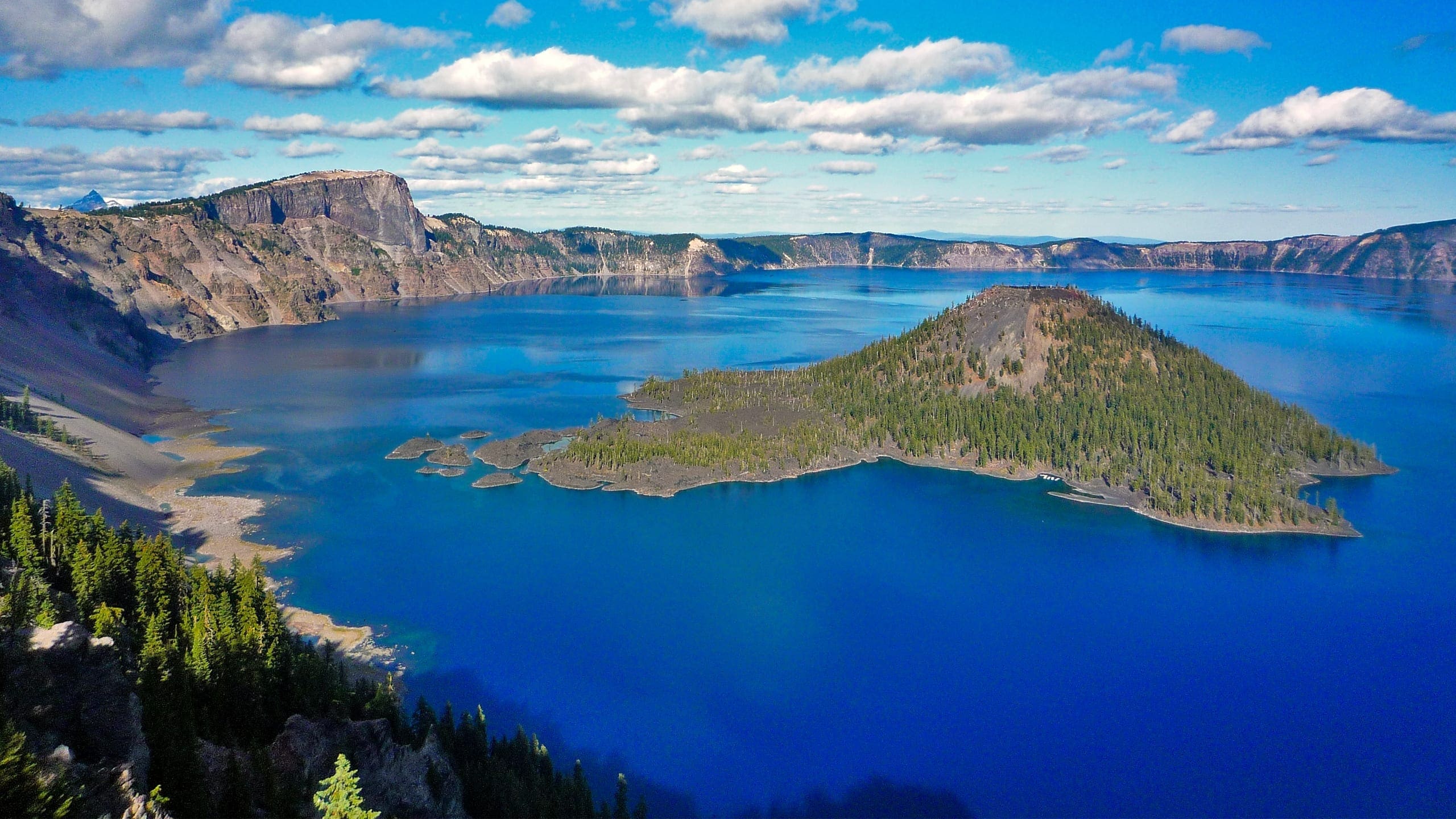
Map Of Crater Lake National Park
Map of Crater Lake National Park

Map Of Crater Lake National Park With The Lake In The Center And And Red Lines Showing Roads And Black Dots For Significant Locations
Map of Crater lake National Park with the lake in the center and and red lines showing roads and black dots for significant locations

Map Showing Winter Road Closures
Map Showing Winter Road Closures

Mount Scott 3D Trail Map Without Labels
From Wayside Exhibit

Park Map
From park brochure
October 2011 Adobe Illustrator print production file
2.38 MB
*downloads in a Zip file.

Seasonal Road Closures Map
Seasonal Road Closures Map

Topo Map Of Crater Lake National Park. The Blue Lake Is In The Center And Surrounded By Open Roads In Red And Closed Sections Of Roads In Yellow.
Topo map of Crater Lake National Park. The blue lake is in the center and surrounded by open roads in red and closed sections of roads in yellow.

Union Peak 3D Trail Map Without Labels
From Wayside Exhibit
