About Canyonlands National Park
Canyonlands National Park is in southeastern Utah, on the Colorado Plateau. The area is mostly high desert characterized by eroded sedimentary rocks including several distinct types of sandstone, shale, and limestone formations. It is rugged and spectacular country. Summers are hot with occasional occurrence of violent thunderstorms. Winters can be cold, with occasional snow. Spring and fall temperatures are usually pleasant.
Canyonlands National Park encompasses approximately 527 square miles. The confluence of the Colorado and Green rivers lies within the park. The rivers divide the park into four districts: (1) Island in the Sky, (2) Needles, (3) the Maze, and (4) the rivers themselves. While the districts share a primitive desert atmosphere, each retains its own character and offers different opportunities for exploration and encounters with natural and cultural history. The four districts are not directly linked by any roads, so travel between them requires 2 to 6 hours by car.
The Colorado and Green rivers wind through the heart of Canyonlands, cutting through layered sedimentary formations to form four deep and distinctly different canyons known as Labyrinth, Stillwater, Meander, and Cataract. Both rivers are characterized by gentle gradients upstream of the confluence, where “flat water” reaches are ideal for travel in canoes and kayaks. In Cataract Canyon below the confluence, numerous rocky debris flows from steep canyon walls have created a long series of large rapids where sandstone and limestone boulders present obstacles to navigation and provide an opportunity for visitors to experience a world-class reach of whitewater boating that continues downstream from Canyonlands into Glen Canyon National Recreation Area.
Island in the Sky is positioned between the two great rivers above their confluence and forms the northern and most-visited region of the park. It is composed of two sections, the mesa top above and the White Rim below, the latter consisting of a prominent sandstone bench 1,200 feet below the mesa top and 500–1,000 feet above the rivers. From the Island in the Sky district, visitors can look down on both rivers, view much of the rest of the park, and experience expansive scenic vistas that extend across intervening plateaus and dissected canyons to encompass many significant landmarks of the Colorado Plateau region including the La Sal, Abajo, Henry, and Navajo mountains. The mesa top is notable for its extensive grasslands and numerous scenic viewpoints, and is accessible by automobile, bicycle, and foot, with several hiking trails down to the White Rim. The White Rim is traversed by a rough, primitive road that can be traveled by bicycle, four-wheeldrive vehicle, or by foot.
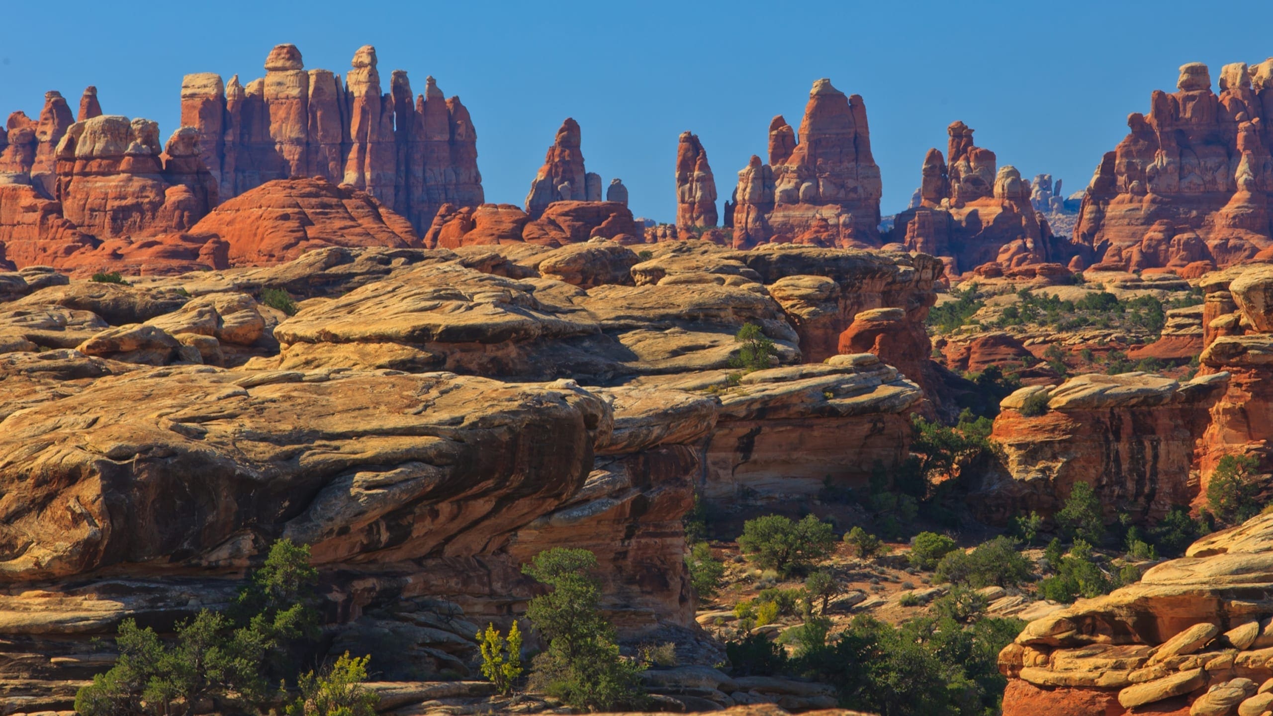
The Needles District forms the southeast corner of Canyonlands and was named for the colorful spires of Cedar Mesa sandstone that dominates the area. The district’s extensive backcountry trail system provides many opportunities for long day-hikes and overnight trips. Foot trails and four-wheel-drive roads lead to such features as Tower Ruin, Confluence Overlook, Elephant Hill, Joint Trail, and Chesler Park.
The Maze is the wildest and least accessible district of Canyonlands, ranking as one of the most remote areas in the United States. Travel to the Maze requires more time and a greater degree of self-sufficiency because of the remote location, difficult roads, and primitive trails. Rarely do visitors spend less than three days in the Maze, and a visit here can easily consume a week-long trip. The Orange Cliffs unit of Glen Canyon National Recreation Area shares a western boundary with Canyonlands and is administered under the same backcountry management plan and permit / reservation system.
Horseshoe Canyon contains some of the most significant rock art in North America. The Great Gallery, the best known panel in Horseshoe Canyon, includes well-preserved, lifesized figures with intricate designs. Other impressive sights include spring wildflowers, sheer sandstone walls, and mature cottonwood groves along the intermittent stream in the canyon bottom.
Source: Foundation Document – Canyonlands National Park
Fast Facts:
| Date the Park was Established: | September 12, 1964 |
| Park Area (as of 2019): | 337,597.83 acres (1,366.2 km2) |
| Recreational Visitors (2018 Total): | 739449 visitors |


