Acadia National Park Maps & Documents
3D Map Of Jordan Pond Area (without Labels), 2013
3D Map of Jordan Pond Area (without labels), 2013
Map file from NPS.gov/acad/ website
537.50 KB
3D Map Of Jordan Pond Area, 2012
3D Map of Jordan Pond Area, 2012
Map file from NPS.gov/acad/ website
104.37 KB
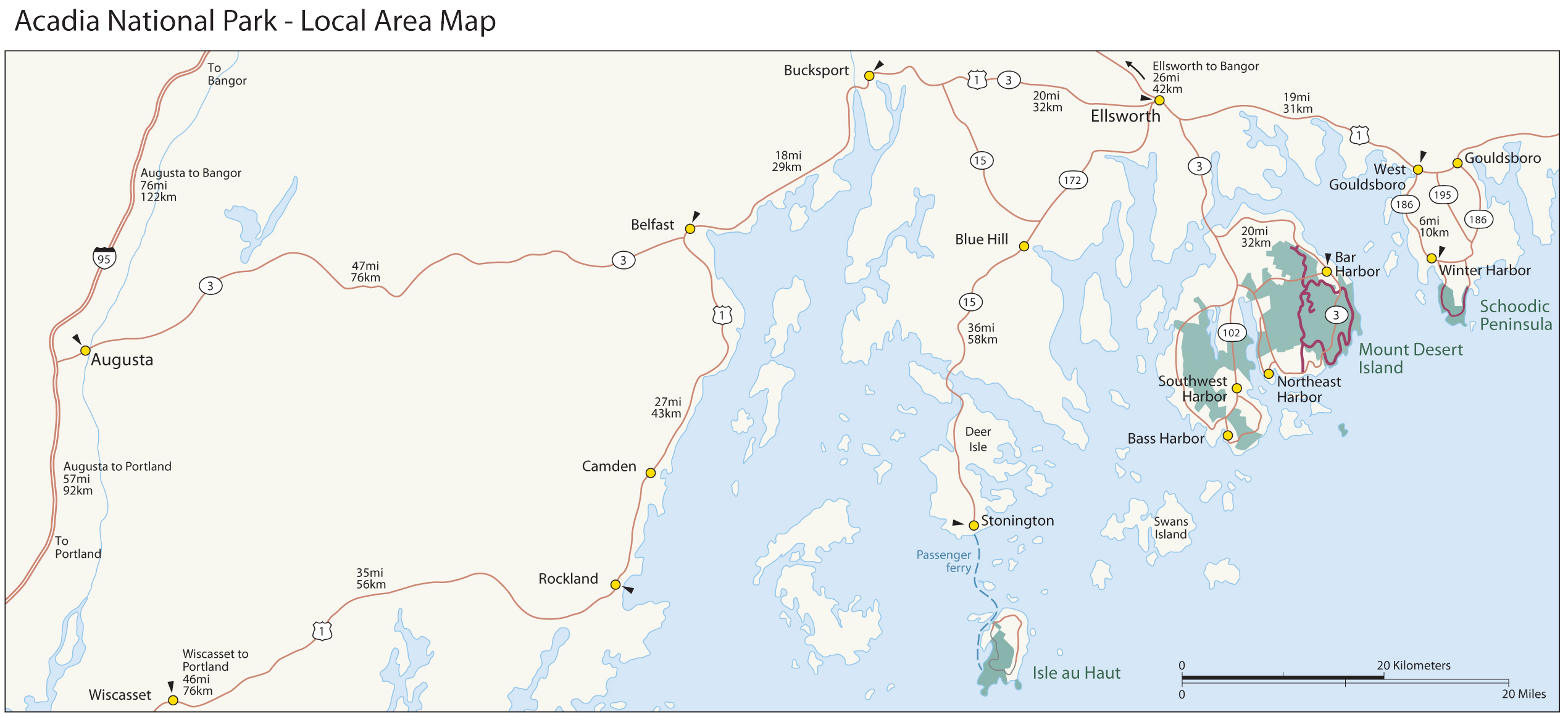
Acadia Local Area Map
Acadia Local Area Map
Map file from NPS.gov/acad/ website
817.34 KB
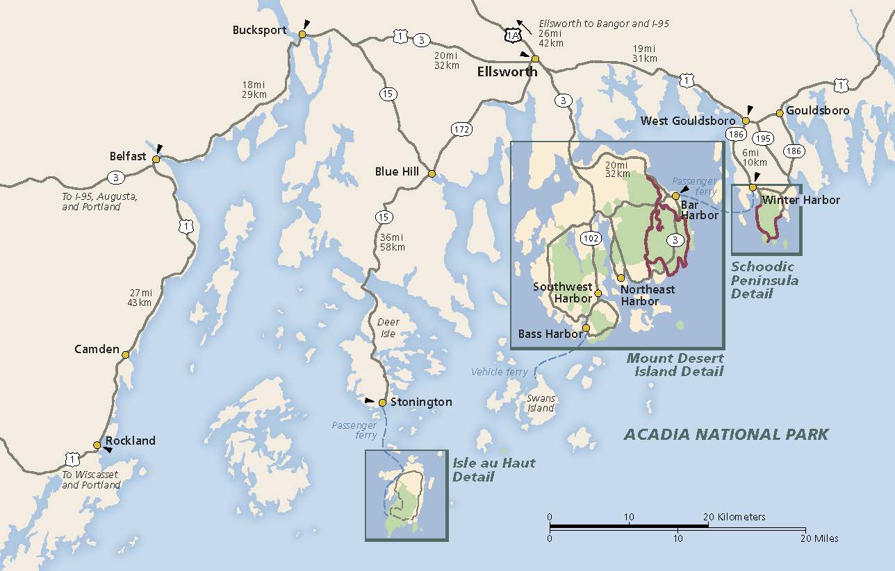
Area Map
From park brochure. Locates Isle au Haut, Mount Desert Island, and Schoodic Peninsula
JPG Viewable Map File
70.29 KB
2021 screen-viewable file
2.27 MB
2021 print production file
3.27 MB
*downloads in a Zip file.
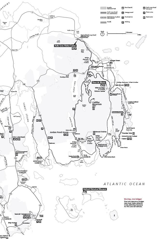
Bus-map-1
bus-map-1
Map file from NPS.gov/acad/ website
85.39 KB
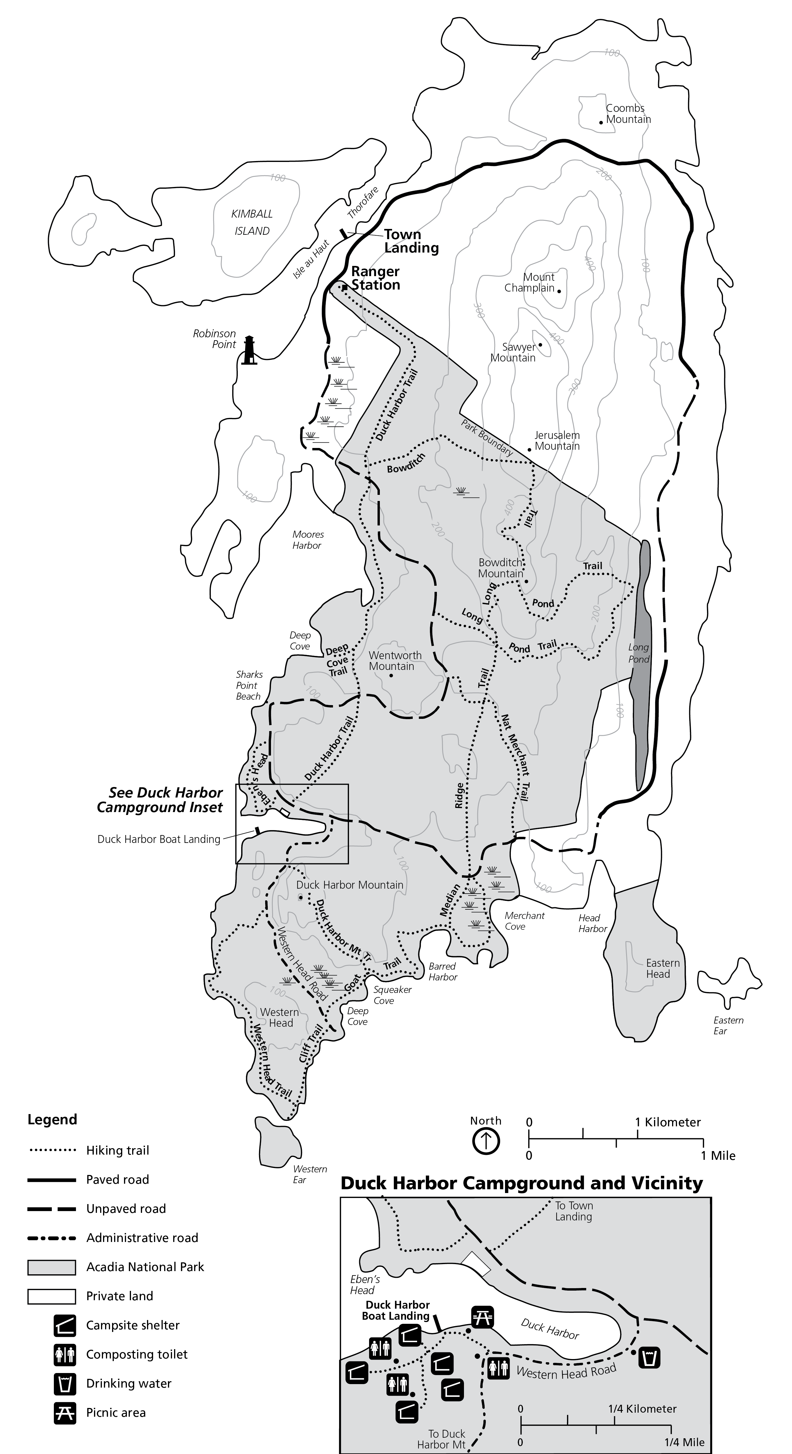
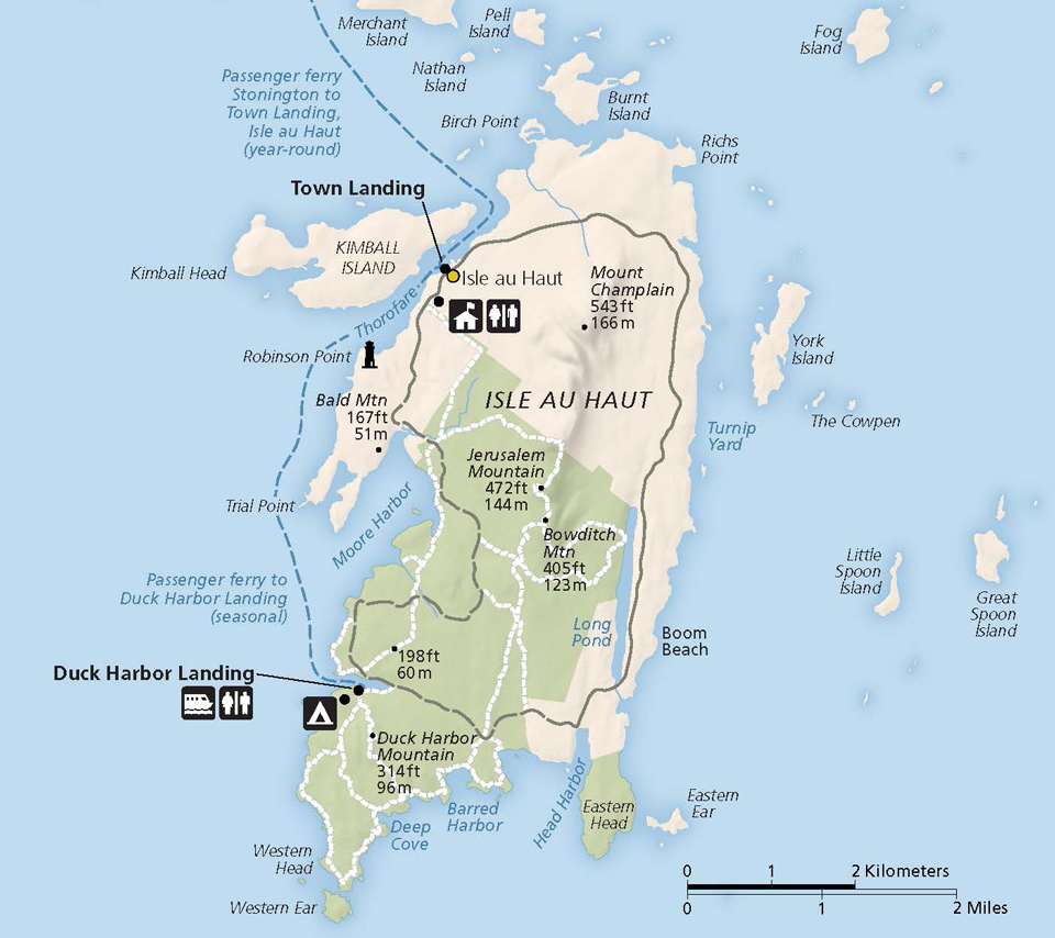
Isle Au Haut Map
Isle au Haut Map
Map file from NPS.gov/acad/ website
1.12 MB
Isle Au Haut Map
From park brochure
JPG Viewable Map File
41.87 KB
2018 screen-viewable file
1.87 MB
2018 print production file
2.58 MB
*downloads in a Zip file.
2018 high-resolution shaded relief file
603.36 KB
*downloads in a Zip file.
Jordan Pond 3D Map 1
Wayside Map
JPG Viewable Map File
294.26 KB
2012 screen-viewable file
23.48 MB
2012 relief art with labels
245.40 MB
*downloads in a Zip file.
Jordan Pond 3D Map 2
Wayside Map
JPG Viewable Map File
4.12 MB
2013 screen-viewable file
24.07 MB
2013 terrain art (no labels)
16.32 MB
*downloads in a Zip file.
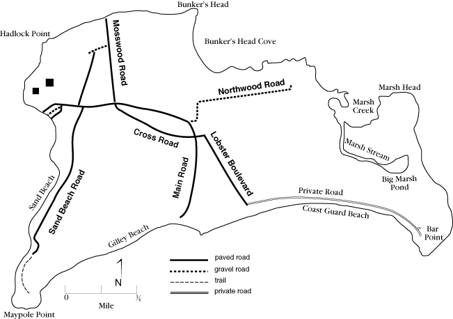
Little Cranberry Island Map
Little Cranberry Island Map
Map file from NPS.gov/acad/ website
19.49 KB
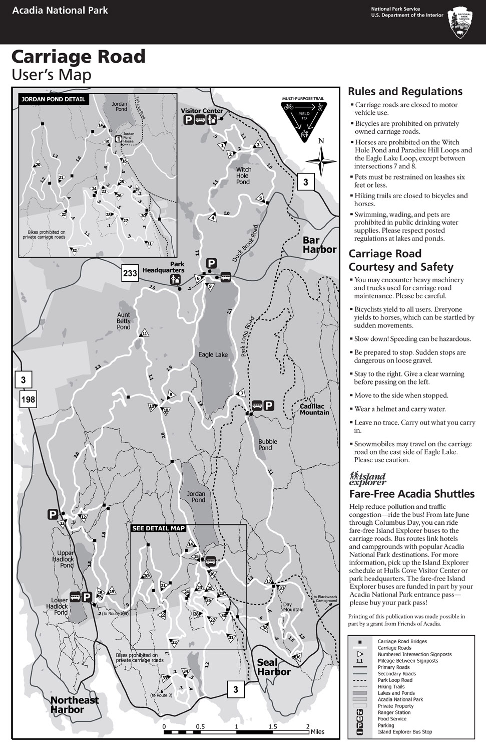
Map Of Carriage Road System
Map of carriage road system
Map file from NPS.gov/acad/ website
370.32 KB
Map Of Isle Au Haut
Map of Isle au Haut
Map file from NPS.gov/grca/ website
29.70 KB
Map Of Mount Desert Island
Map of Mount Desert Island
Map file from NPS.gov/grca/ website
146.13 KB
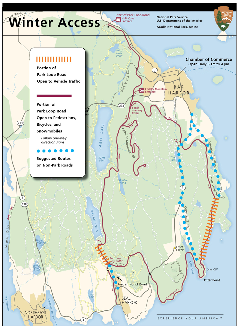
Map Of Park Loop Road Access In Winter
Map of Park Loop Road access in winter
Map file from NPS.gov/acad/ website
783.20 KB
Map Of Region Surrounding Acadia National Park
Map of region surrounding Acadia National Park
Map file from NPS.gov/grca/ website
70.84 KB
Map Of Roads To Access Portions Of Park Open In Winter
Map of roads to access portions of park open in winter
Map file from NPS.gov/acad/ website
323.63 KB
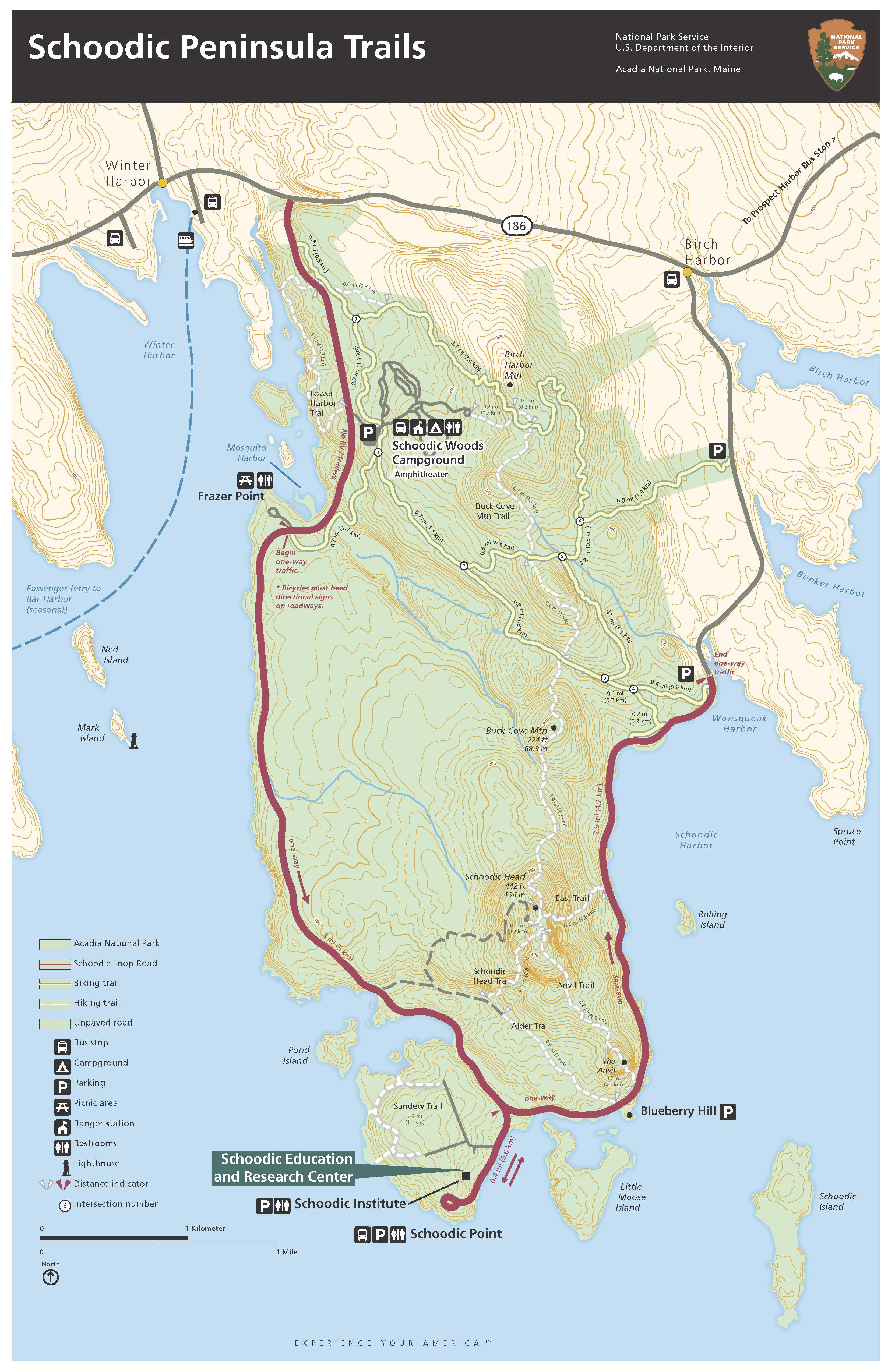
Map Of Schoodic Peninsula Trails
map of Schoodic Peninsula Trails
Map file from NPS.gov/acad/ website
1.30 MB
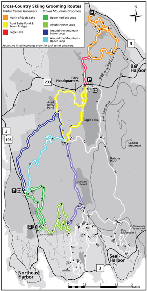
Map Of Ski Trails Groomed By Friends Of Acadia
Map of ski trails groomed by Friends of Acadia
Map file from NPS.gov/acad/ website
176.23 KB
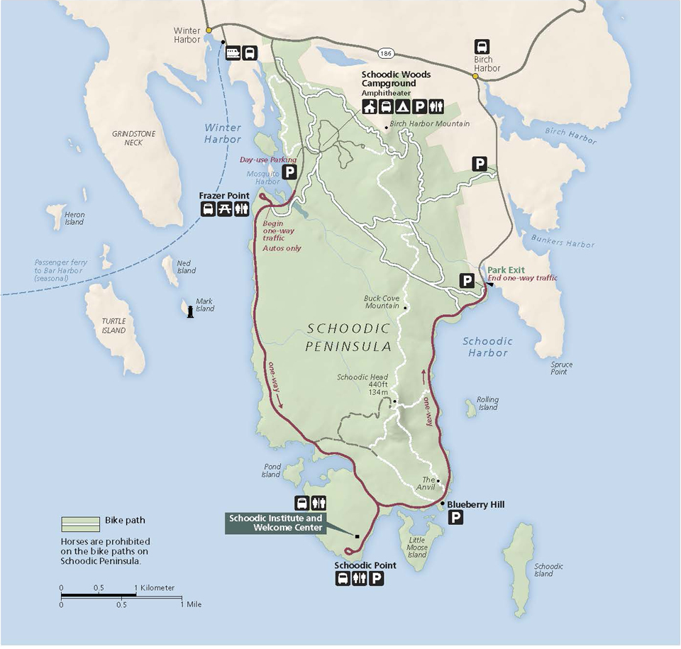
Map Of The Schoodic Peninsula
Map of the Schoodic Peninsula
Map file from NPS.gov/wrst/ website
3.27 MB
Map Showing Suggested Routes Along Carriage Roads
Map showing suggested routes along carriage roads
Map file from NPS.gov/acad/ website
332.79 KB
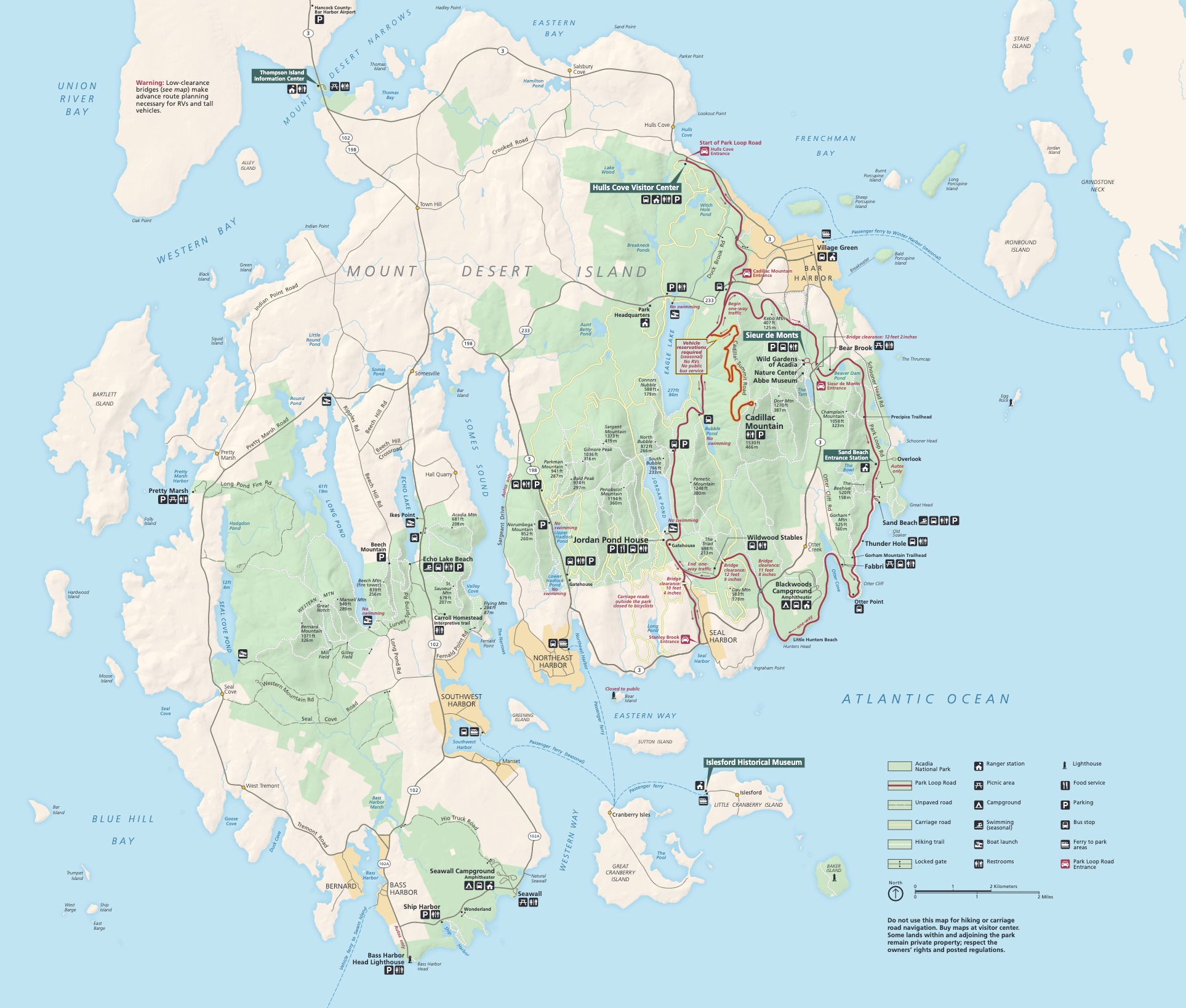
Mount Desert Island Map
From park brochure
JPG Viewable Map File
537.50 KB
2021 screen-viewable file
21.14 MB
2021 print production file with shaded relief file
14.51 MB
*downloads in a Zip file.
Schoodic Peninsula Map
From park brochure
JPG Viewable Map File
87.80 KB
2021 screen-viewable file
1.74 MB
2021 print production file with shaded relief
2.73 MB
*downloads in a Zip file.
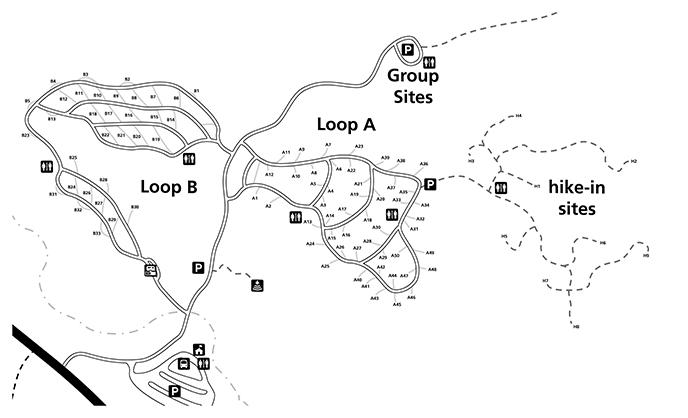
Schoodic-Woods
Schoodic-Woods
Map file from NPS.gov/acad/ website
33.70 KB
