fbpx
Loading...Loading Park Alerts...

Park Alerts (1)

***Discover Our Parks, LLC takes no responsability in the accuracy of these alerts, which are taken directly from NPS.gov, and we provide them for informational purposes only. Please refer to NPS.gov for more information.

Park Menu

"Old Fashion" Maps

Because most national parks don't have cell service!

(The below links are affiliate links, meaning, at no additional cost to you, we'll earn a commission if you click one and make a purchase. An easy way to help support us if you're going to buy one anyway!)

SPONSORED ADVERTISMENT

Haleakalā National Park Maps & Documents

These maps are for general use only. Please read nps.gov's Data Sources and Accuracy statement for more information.

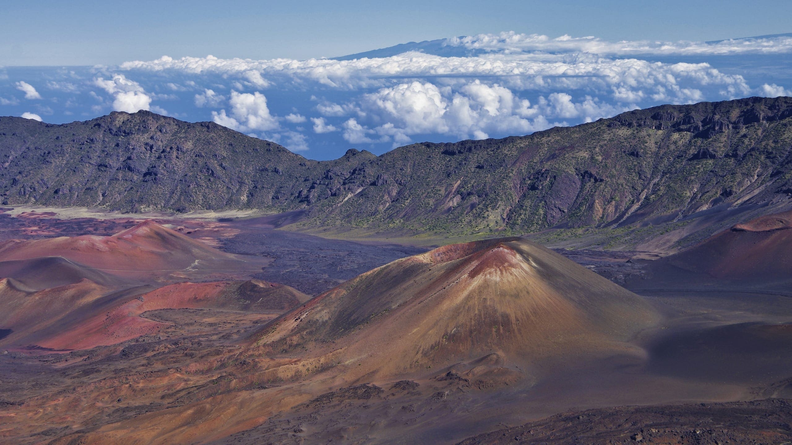
Haleakala Panorama (view From Northwest) - From exhibit map
Haleakala Panorama (view From Northwest)
From exhibit map
JPG Viewable Map File
48.70 MB
February 2009 Screen-viewable file
8.48 MB
February 2009 map labels and symbols
106.33 MB
*downloads in a Zip file.
February 2009 rendered 3D art
106.33 MB
*downloads in a Zip file.

Haleakala Panorama (view From Southeast) - From park brochure
Haleakala Panorama (view From Southeast)
From park brochure
JPG Viewable Map File
29.73 MB
February 2009 Screen viewable file
9.83 MB
April 2006 Print production file
1.79 MB
*downloads in a Zip file.
April 2006 rendered 3D art
80.97 MB
*downloads in a Zip file.

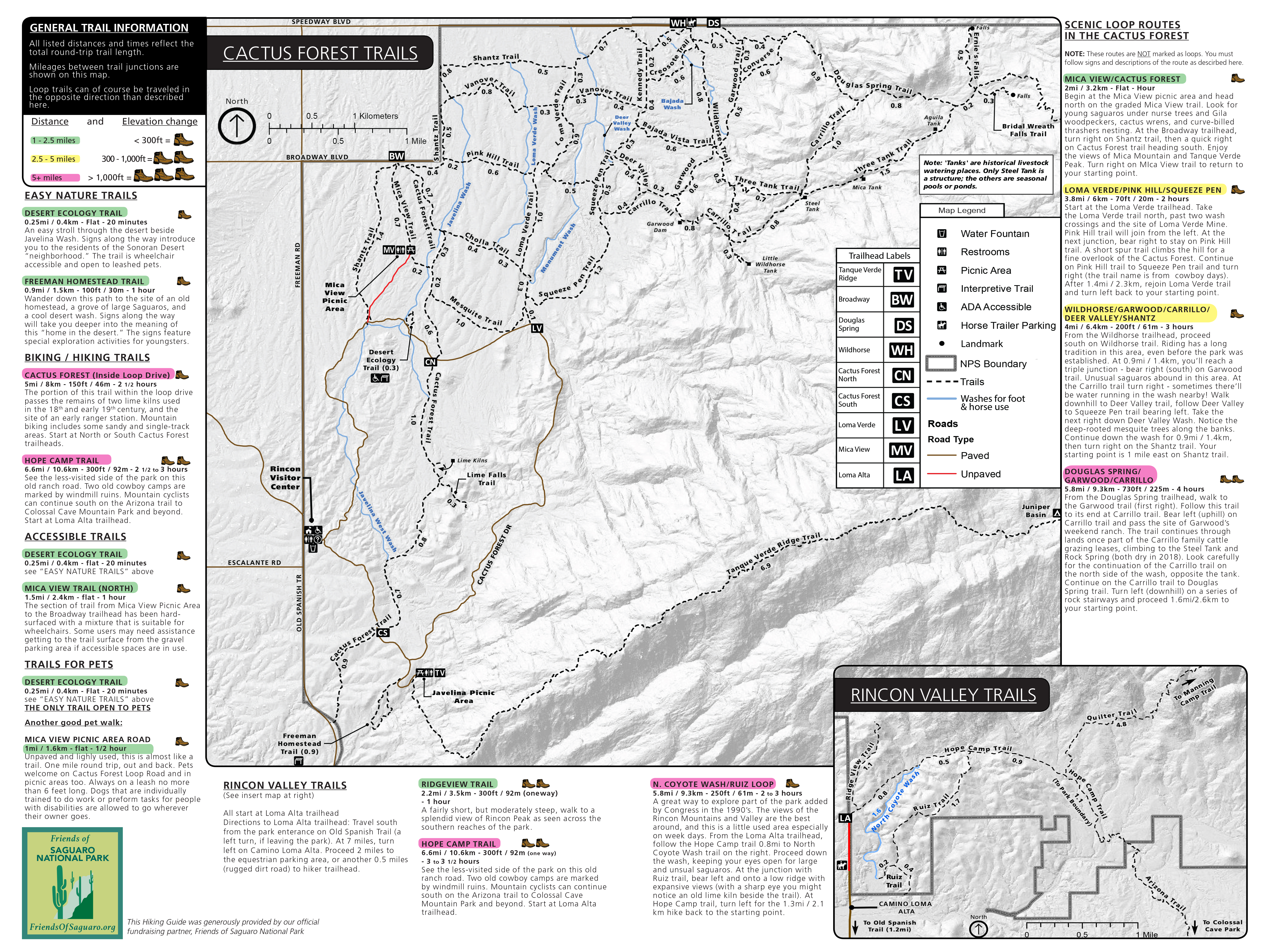
Map Of Maui - map of maui
Map Of Maui
map of maui
Map file from NPS.gov/sagu/ website
13.23 MB

Map Of Summit District, Roads, Visitor Centers, And Trails With Descriptions - Map of summit district, roads, visitor centers, and trails with descriptions
Map Of Summit District, Roads, Visitor Centers, And Trails With Descriptions
Map of summit district, roads, visitor centers, and trails with descriptions
Map file from NPS.gov/grsm/ website
11.96 KB

Maui Island Area Map - From park brochure. Note: The National Park Service uses a proprietary font for labeling Hawaiian maps that is not released publicly. Due to font substitution, diacritical marks do not appear on downloaded maps. Check printed National Park Service maps fo
Maui Island Area Map
From park brochure. Note: The National Park Service uses a proprietary font for labeling Hawaiian maps that is not released publicly. Due to font substitution, diacritical marks do not appear on downloaded maps. Check printed National Park Service maps fo
JPG Viewable Map File
497.91 KB
September 2008 screen-viewable file
479.49 KB
September 2008 print production file
1.13 MB
*downloads in a Zip file.
September 2008 full resolution shaded relief file
296.85 KB
*downloads in a Zip file.

Park Map - From park brochure. Note: The National Park Service uses a proprietary font for labeling Hawaiian maps that is not released publicly. Due to font substitution, diacritical marks do not appear on downloaded maps. Check printed National Park Service maps fo
Park Map
From park brochure. Note: The National Park Service uses a proprietary font for labeling Hawaiian maps that is not released publicly. Due to font substitution, diacritical marks do not appear on downloaded maps. Check printed National Park Service maps fo
JPG Viewable Map File
2.16 MB
2015 screen-viewable PDF
209.06 KB
2015 print production file
1.11 MB
*downloads in a Zip file.
2015 full resolution shaded relief file
11.25 MB
*downloads in a Zip file.