White Sands National Park Maps & Documents
3D View Of White Sands Without Labels
From Wayside Exhibit (unpublished)
2014 screen-viewable file
122.12 KB
2014 screen-viewable file
5.25 MB
2014 3D Terrain Art
3.99 MB
*downloads in a Zip file.
Aerial Map With GPS Coordinates.
Aerial map with GPS Coordinates.
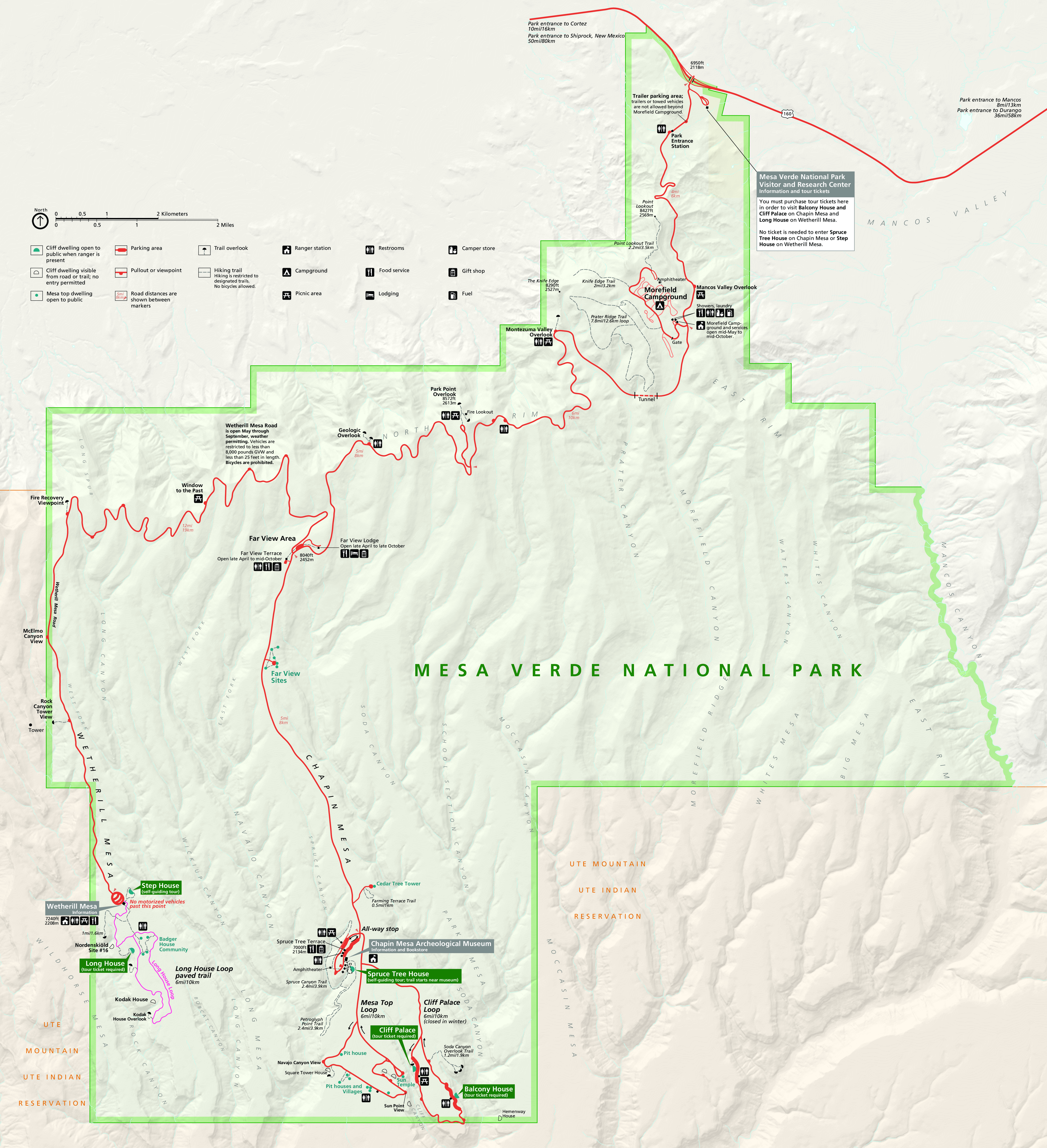
Map file from NPS.gov/meve/ website
4.77 MB
Chihuahuan Desert Map
From Wayside Exhibit
2014 screen-viewable file
416.20 KB
2014 screen-viewable file
32.63 MB
2014 print production file
26.95 MB
*downloads in a Zip file.
2014 high-resolution shaded relief file
5.79 MB
*downloads in a Zip file.
Close Up Of Map With Trails And Visitor Center Marked
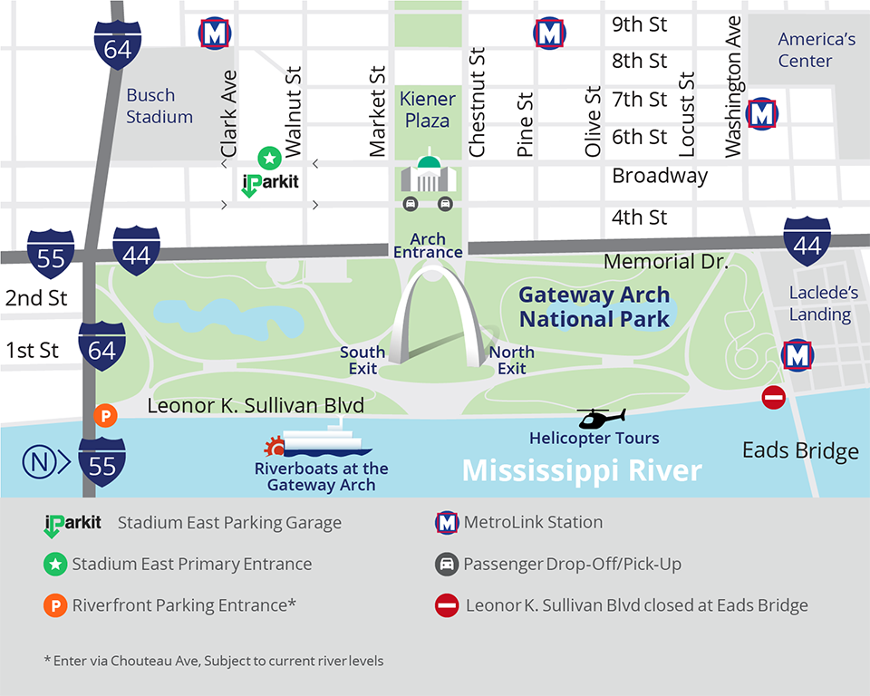
Close up of map with trails and visitor center marked
Map file from NPS.gov/jeff/ website
350.33 KB
Cropped Image Of A Portion Of Dunes Drive Map.
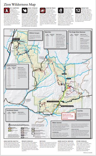
Cropped image of a portion of Dunes Drive map.
Map file from NPS.gov/zion/ website
56.57 KB
Cuatrociengas Locator Map
From Wayside Exhibit
2014 screen-viewable file
21.97 KB
2014 screen-viewable file
1.89 MB
2014 print production file
2.36 MB
*downloads in a Zip file.
Illustration Of The Park Map.
Illustration of the park map.
Map file from NPS.gov/glba/ website
50.44 KB
Locator Map
From Wayside Exhibit
2014 screen-viewable file
1.75 MB
2014 screen-viewable file
5.86 MB
2014 print production file
52.39 MB
*downloads in a Zip file.
2014 high-resolution shaded relief file
52.60 MB
*downloads in a Zip file.
Park Map (Bird's-eye View)
From Park Brochure
JPG Viewable Map File
2.85 MB
June 2017 screen viewable pdf
13.58 MB
June 2017 Adobe Illustrator file
42.99 MB
*downloads in a Zip file.
June 2017 full resolution raster art
54.48 MB
*downloads in a Zip file.
Water Flow Map
From Wayside Exhibit
2014 screen-viewable file
1.35 MB
2014 screen-viewable file
3.45 MB
2014 print production file
36.23 MB
*downloads in a Zip file.
2014 3D Terrain Art
36.18 MB
*downloads in a Zip file.

