About Death Valley National Park
Death Valley National Monument was established by presidential proclamation under the 1906 Antiquities Act, on February 11, 1933. The original monument contained approximately 1,601,800 acres. Supplemental proclamations in March 1937 and January 1952 increased the monument’s acreage to 2,086,530 acres. The monument was subsequently enlarged and changed to Death Valley National Park by congressional action on October 31, 1994, with the passage of the California Desert Protection Act. Approximately 1.3 million acres of new lands were added, bringing the total acreage of the new park to about 3,399,470 acres. Nearly 92% of the park was designated as wilderness by that same act. Death Valley National Park is the largest national park unit in the contiguous 48 states. The park spans four counties across the states of Nevada and California, providing significant economic benefits to these rural communities. Although 95% of the park lies in California’s Inyo and San Bernardino Counties, more than 100,000 acres lie in the Nevada counties of Nye and Esmeralda. California State Route 190 crosses the park east to west.
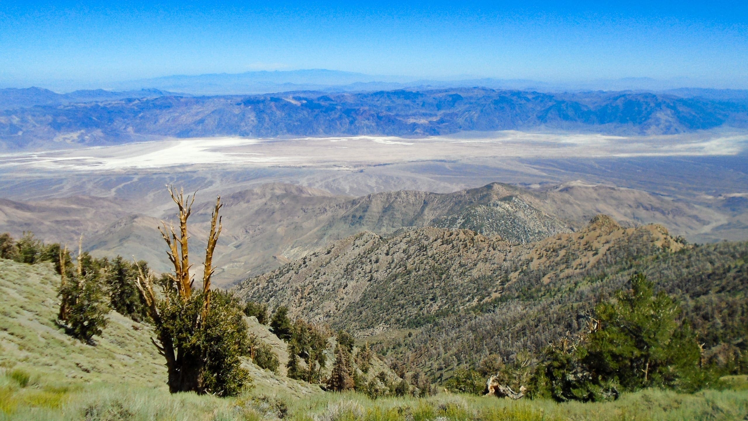
The park includes all of Death Valley, a 156-mile-long north/south-trending trough that formed between two major block-faulted mountain ranges: the Amargosa Range on the east and the Panamint Range on the west. Telescope Peak, the highest peak in the park and in the Panamint Mountains, rises 11,049 feet above sea level and lies only 15 miles from the lowest point in the United States in the Badwater Basin salt pan, 282 feet below sea level. The California Desert Protection Act added most of the Saline, Eureka, northern Panamint, and Greenwater Valleys to the park.
Death Valley National Park includes the lowest point in North America and one of the hottest places on Earth. It is also a vast geological museum, containing examples of most of Earth’s geological eras. Plant and animal species, some of which occur nowhere else in the world, have adapted to the harsh desert environment. The diversity of Death Valley’s plant and wildlife communities results partially from the region’s location in the Mojave Desert, a zone of tension and overlap between the Great Basin Desert to the north and the Sonoran Desert to the south, as well as the great range of elevations found within the park. Humans have adjusted to these severe conditions as evidenced by extensive prehistoric archeological sites; historical sites related to successive waves of prospectors, miners, and homesteaders; the recent resort developments and mines; and the present-day residence of the Timbisha Shoshone.
Perhaps the park’s greatest assets today are the scenic views, vast open spaces that stretch toward distant horizons, and the overwhelming silence. More than 1.3 million people per year come to Death Valley National Park to experience the stark and lonely vastness of the valley; dark night sky viewing; the panorama of rugged canyons and mountains; the pleasures of the dry, moderate winter climate; the challenge of the hot, arid summer; hiking; backcountry driving; access to the cooler mountains; and the reminders of frontier and American Indian lifeways.
Source: Foundation Document – Death Valley National Park
Fast Facts:
| Date the Park was Established: | October 31, 1994 |
| Park Area (as of 2019): | 3,408,406.73 acres (13,793.3 km2) |
| Recreational Visitors (2018 Total): | 1678660 visitors |


