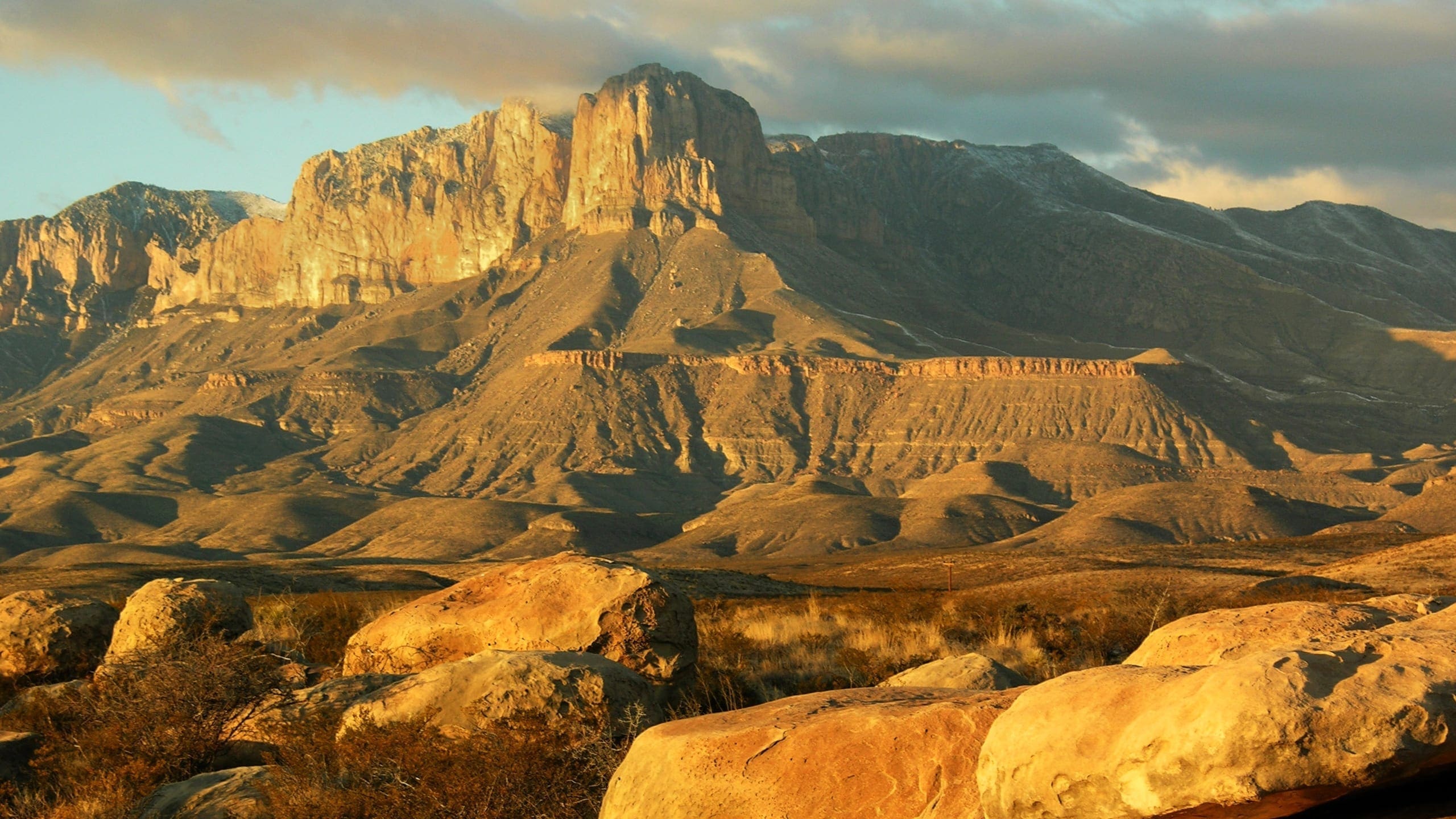
About Guadalupe Mountains National Park
Guadalupe Mountains National Park was authorized by an act of Congress (Public Law 89-667) in 1966 to preserve “an area possessing outstanding geological values together with scenic and other natural values of great significance.” The park was formally established in 1972 with an area of 76,293 acres.
Today, Guadalupe Mountains National Park includes 86,416 acres in west Texas, just south of the New Mexico state line and north of U.S. Highway 62/180. The Guadalupe Mountains rise more than 3,000 feet above the arid Chihuahuan Desert that surrounds them. El Capitan, the park’s most striking feature, is a 1,000-foot-high limestone cliff. Nearby Guadalupe Peak, 8,749 feet above sea level, is the highest point in Texas.
The Guadalupe Mountains are part of a mostly buried 400-mile-long U-shaped fossil reef complex, Capitan Reef, which extends through a large area of west Texas and southeastern New Mexico. The longest exposed stretch of Capitan Reef, 12 miles of which is in the park, extends northeast from Guadalupe Mountains National Park almost to Carlsbad, New Mexico, a distance of nearly 40 miles. This 260–270-million-year-old reef is one of the world’s finest examples of an ancient reef system. The fossil-bearing strata of the park are also associated with the rich “oil patch” of the Delaware Basin of west Texas. Three internationally significant geological stratotype sections and points, and numerous type sections of rock, are present in the park.
The park is designated as a Class I air quality area under the Clean Air Act, which provides the highest level of protection. Air pollution sources with the potential to affect the scenic values for which the park was created are subject to stringent controls to prevent future impairment from human-caused air pollution. In 1978, 46,850 acres of the park’s backcountry were formally designated by Congress as wilderness. On October 28, 1988, Congress passed legislation that enlarged the park by 10,123 acres. The new land includes gypsum and quartzose dunes in an area west of and adjacent to the park boundary. All of the land identified in the 1988 legislation has been deeded to the National Park Service.
The cultural history of the Guadalupe Mountains includes native peoples and successive waves of European-American explorers, travelers, and immigrants. Although Spanish explorers passed through the area in 1692, the arid desert and remote highlands of the Guadalupe Mountains were the domain of American Indian peoples until the mid-1800s. Gradually, explorers and pioneers entered the area and navigated using the distinctive landmark of the Guadalupes. In 1858 the Butterfield Overland Stage Line began carrying mail and passengers through the Guadalupe Mountains on the nation’s first transcontinental mail route.
The settlement of ranches around the Guadalupe Mountains began in the mid-1800s and led to periodic conflicts with the Mescalero Apache Tribe. During the U.S. Army’s military campaign against the Mescalero Apache Tribe, the high country of the Guadalupe Mountains was one of the tribe’s last sanctuaries. By 1880, the majority of the Mescalero Apache Tribe no longer occupied the Guadalupe Mountains region. Subsequent years brought more ranchers to the area. In the 1920s and 1930s, J.C. Hunter purchased many of the properties and consolidated them into one large holding. Hunter built structures and an extensive livestock watering system that pumped spring water from the southeast lowlands to the high country.
Wallace Pratt, a petroleum geologist charmed by the Guadalupe Mountains, bought land in McKittrick Canyon in the 1930s and built two residences that remain in the park. In 1959, Pratt donated his land to the National Park Service. Adjacent lands owned by Hunter and others were eventually purchased and combined into the new Guadalupe Mountains National Park.
Source: Foundation Document Overview – Guadalupe Mountains National Park
Fast Facts:
| Date the Park was Established: | October 15, 1966 |
| Park Area (as of 2019): | 86,367.10 acres (349.5 km2) |
| Recreational Visitors (2018 Total): | 172,347 visitors |


