About Gates Of The Arctic National Park & Preserve
Gates of the Arctic National Park and Preserve was established on December 2, 1980, under the Alaska National Interest Lands Conservation Act (ANILCA), to maintain the wild and undeveloped character and environmental integrity of the area, to provide continued opportunities for mountain climbing and other wilderness recreational activities, to protect habitat for and populations of fish and wildlife, and to permit subsistence uses where such uses are traditional.
Lying north of the Arctic Circle in Alaska, Gates of the Arctic is situated in the central Brooks Range, the northernmost extension of the Rocky Mountains, and encompasses 8.4 million acres of land. Gates of the Arctic is composed of the national park (approximately 7.5 million acres) and two units containing 948,608 acres that make up the national preserve. Altogether, the park and preserve is nearly 200 miles long and 130 miles wide, including both the north and south slopes of the Brooks Range. With adjacent Kobuk Valley National Park and Noatak National Preserve, these lands form one of the largest protected parkland areas in the world. Gates of the Arctic is also the nation’s second-largest NPS wilderness area, with more than 7 million acres designated wilderness.
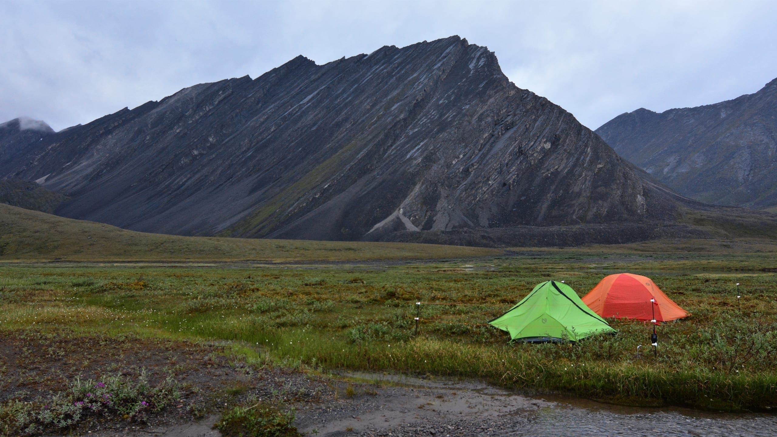
The park and preserve is characterized by rugged peaks, glaciated arctic valleys, wild rivers, and many lakes. Six designated wild rivers—the Alatna, John, Kobuk, Noatak, North Fork of the Koyukuk, and the Tinayguk—are among the numberless waterways transecting Gates of the Arctic. Foothills become waves of mountain peaks rising to elevations of 4,000 feet, with the tallest limestone and granite ridges reaching over 7,000 feet. Two designated national natural landmarks, the Arrigetch Peaks and Walker Lake, are within Gates of the Arctic. The landscape is covered by sparse black spruce forests (called taiga), boreal forest, and arctic tundra. The park contains major portions of the range and habitat of the Western Arctic caribou herd. Moose, Dall’s sheep, wolverines, wolves, and grizzly and black bears also inhabitant the land. Although the landscape appears virtually untouched by contemporary civilization, people have lived here for at least 12,000 years and the park is blanketed with numerous archeological and historic sites. Gates of the Arctic is important for subsistence activities by local residents, who harvest fish, wildlife, and vegetation in the park.
The park and preserve is located approximately 200 air miles north of Fairbanks. No trails, bridges, signs, or visitor services exist within the park or preserve, and no roads provide access. The closest road is the Dalton Highway which is more than 5 miles from the park’s eastern boundary. Hiking into the park from the highway is possible; however, access to Gates of the Arctic is almost exclusively by small aircraft. One Nunamiut (Iñupiat) village, Anaktuvuk Pass, lies within the park boundary. There are ranger stations at Anaktuvuk Pass and in Bettles, but there are no developed facilities in the park and preserve. A ranger station and the Arctic Interagency Visitor Center are located in Coldfoot along the Dalton Highway.
Source: Foundation Document Overview – Gates of the Arctic National Park
Fast Facts:
| Date the Park was Established: | December 2, 1980 |
| Park Area (as of 2019): | 7,523,897.45 acres (30,448.1 km2) |
| Recreational Visitors (2018 Total): | 9591 visitors |


